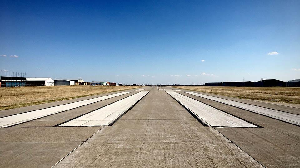
Assessing and monitoring
airfield runway and
taxiway foundations
Using GPR and satellite imaging
Airfield infrastructures are major investments requiring viable and strategic maintenance and management.
In recent years, the application of non-destructive testing (NDT) techniques such as 3D laser scanners, ultrasound techniques, fibre optic sensors, and accelerometers, as well as ground-penetrating radar technologies, have been developed for use in this area of endeavour.
About the project
Collected information is incorporated into infrastructure management systems in compliance with budget constraints, service efficiency and safety of the operations. However, this information requires routine data collection of information to build up comprehensive data inventories. These are collected locally with a relatively high time frequency and space density and cause partial or full-service interruption.
Due to this background, a synergetic use of satellite remote sensing and ground-based technologies, such as ground-penetrating radar (GPR), will allow data collection through a concurrent routine monitoring approach based on low frequency and high-frequency inspection rates, for application at the local level and the full-scale level of investigation. A more comprehensive assessment of the structural integrity of runways and taxiways will be therefore possible.
This study will utilise satellite imaging (medium and high resolution) and GPR techniques to develop a new pavement management approach based on a systematic and integrated use of satellite and ground-based NDT data.
Impact
The use of multi-temporal and multi-resolution data from satellite imaging and information on the subsurface from ground-based non-destructive technologies is fundamental in the development of more accurate prediction models and early-warning systems for controlling structural displacements in runways and taxiways.
Impact on the current management procedures will be created in terms of:
- collection and delivery of a set of reliable data and information, which will be obtained over any specific periods of time
- safer and reliable operations with minimum service interruption, early decay identification and significant reduction of management costs.
The research team
- Professor Amir Alani
- Professor Fabio Tosti
- Dr Lilong Zou
Find out more
-
Research Centres and Groups
Find out about our multi-disciplinary areas of expertise, PhD research, and teaching.

-
Research impact
Learn how our PhD research has helped communities locally, nationally and internationally.
-
The Graduate School
If you are interested in studying for a PhD or Professional Doctorate, the Graduate School is here to support your research.