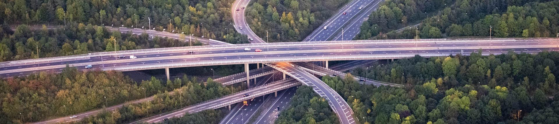
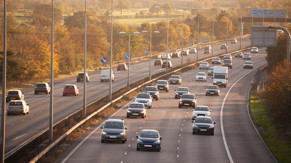
Assessing and monitoring highways and roads pavements
Using GPR and satellite imaging
The aim of this project is to develop a novel transport infrastructure smart management system aimed at prioritising interventions on highway infrastructure assets.
The integrated approach will rely on condition assessment-based information collected using satellite imaging and non-destructive testing (NDT) techniques.
About the project
About the project
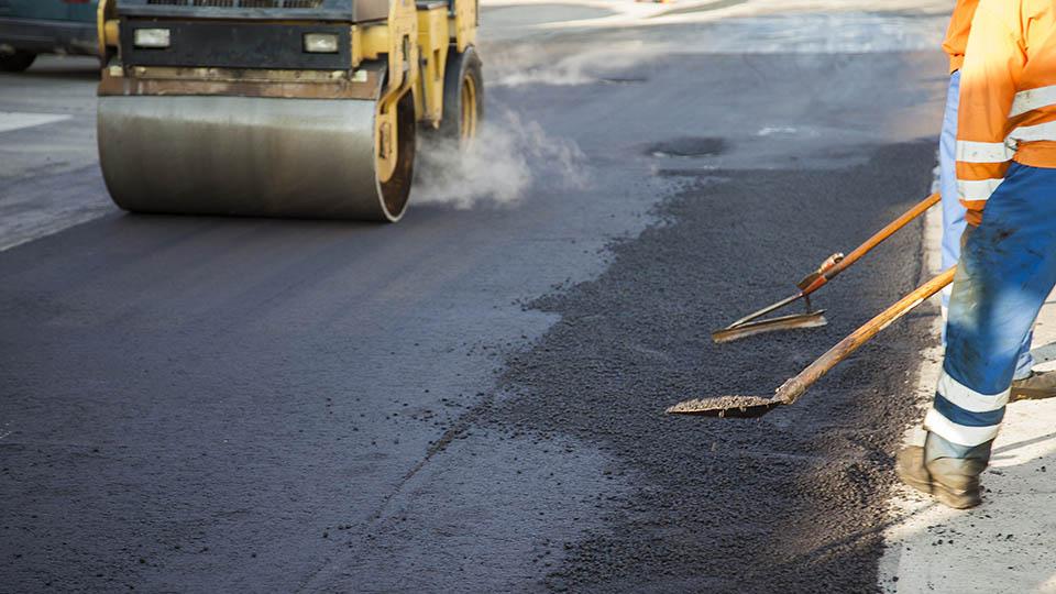
Highways and road pavements suffer damage because of decay or weakness in their structural components. An effective assessment of surface damage and the structural properties of pavement layers can identify the causes and locate the depth of the damage.
Traditional destructive tests made on-site and in the laboratory are intrusive, time-demanding and costly. In view of the above limitations, non-destructive testing (NDT) methods have become popular.
Amongst others, falling weight deflectometer (FWD) techniques are mostly used in combination with ground-penetrating radar (GPR) to assess the stiffness and thickness of pavement layers.
Parallel to this, Interferometric approaches based on the comparison between multiple Synthetic Aperture Radar (SAR) images have proven effective in assessing transport infrastructure conditions.
The coverage of every image collected by SAR sensors allows the evaluation of large infrastructures at the network level in a single data processing flow. Therefore, the outcome of the SAR techniques lends itself to be highly integrated with the existing NDT methods operating at the local level of the infrastructure.
This research project will be based on the development of a novel integrated model for the monitoring of highways and road pavements.
Analyses of multi-temporal SAR acquisitions will be carried out first to identify areas of concern at the network level in terms of differential settlements at road bridge approaches and excessive deformation rate of the pavement surface, amongst others.
This information will be instrumental to the next stage of the approach, where ground-based techniques will be used locally to detect the source and scale of defects and deformations. Incorporation of these data into management systems can lead to more sustainable maintenance and state of good repair over the infrastructure life cycle.
Tests will be carried out in a laboratory environment, on a test-site scale and on the full scale of inspection.
Impact
The provision of continuous, reliable and accurate multi-temporal and multi-resolution information on the highway infrastructure asset condition is crucial for the development of more comprehensive pavement distress evolution prediction models – compared to traditional infrastructure management systems.
Impact on the current management procedures will be created in terms of:
- defining a priority scale of intervention that can be updated with a higher temporal frequency
- the provision of an uninterrupted service with a minimum on-site inspection of highways and road pavements.
The research team
- Professor Amir Alani
- Professor Fabio Tosti
- Dr Lilong Zou
Find out more
-
Research Centres and Groups
Find out about our multi-disciplinary areas of expertise, PhD research, and teaching.

-
Research impact
Learn how our PhD research has helped communities locally, nationally and internationally.
-
The Graduate School
If you are interested in studying for a PhD or Professional Doctorate, the Graduate School is here to support your research.